Visualisation & Statistics
Welcome to GREENGAGE Urban Thematic exploitation platform
Gain deeper insights into the GREENGAGE pilots’ user stories — showcasing how data can empower policymakers on the path toward sustainable urban development and an improved quality of life.
Dive into interactive maps, charts, and scenario-based models that highlight key thematic areas such as:
- Air Quality
- Area Attractiveness
- Mobility
Explore the data through Interactive visualizations and user stories
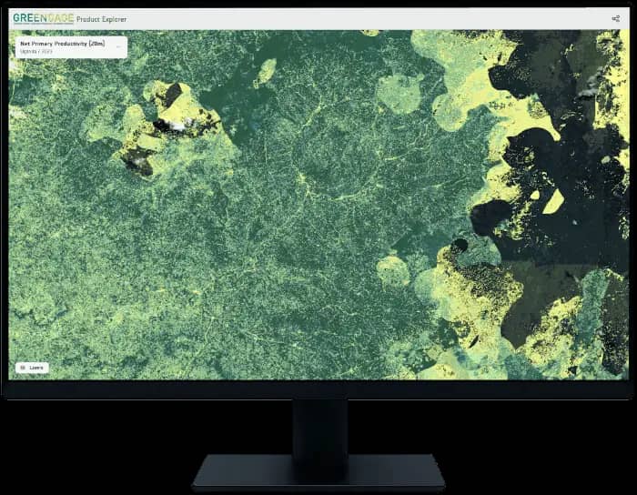
Explore the data interactively through the UrbanTEP / VISAT explorer and user stories, or access expert tools provided by GREENGAGE—such as Apache Superset and Apache Druid—to query, process, or manually download the data.
Interactive user stories
Explore Land Use and Land Cover-based Integrated Sustainability Assessment together with Air Quality in a format of user stories
Access to the data
Select a dataset to explore within a specific pilot region and topic. To dive into a particular story, choose one from the user stories section.
Pilot city
Thematic area
Dataset
Dataset
General text about Dataset: Lorem ipsum dolor sit amet, consectetuer adipiscing elit. Curabitur bibendum justo non orci. Excepteur sint occaecat cupidatat non proident, sunt in culpa qui officia deserunt mollit anim
Corine Land Cover + Backbone
A Copernicus dataset used to characterize land cover and land use in Turano. It includes data on land cover types, land use patterns, and changes over time.
How GREENGAGE supports sustainable urban development
The Tools we are using
To support this mission, GREENGAGE brings together a suite of open and interactive technologies:
- UrbanTEP / VISAT – A user-friendly web application for exploring spatial data and accessing interactive, data-powered user stories that showcase the impact in pilot regions.
- Apache Superset – An open-source tool that serves as a playground for querying, filtering, and visualizing data. (User registration required).
- Apache Druid – A high-performance, open-source analytics database that stores data from citizens, remote sensing sources, and stakeholder interviews.
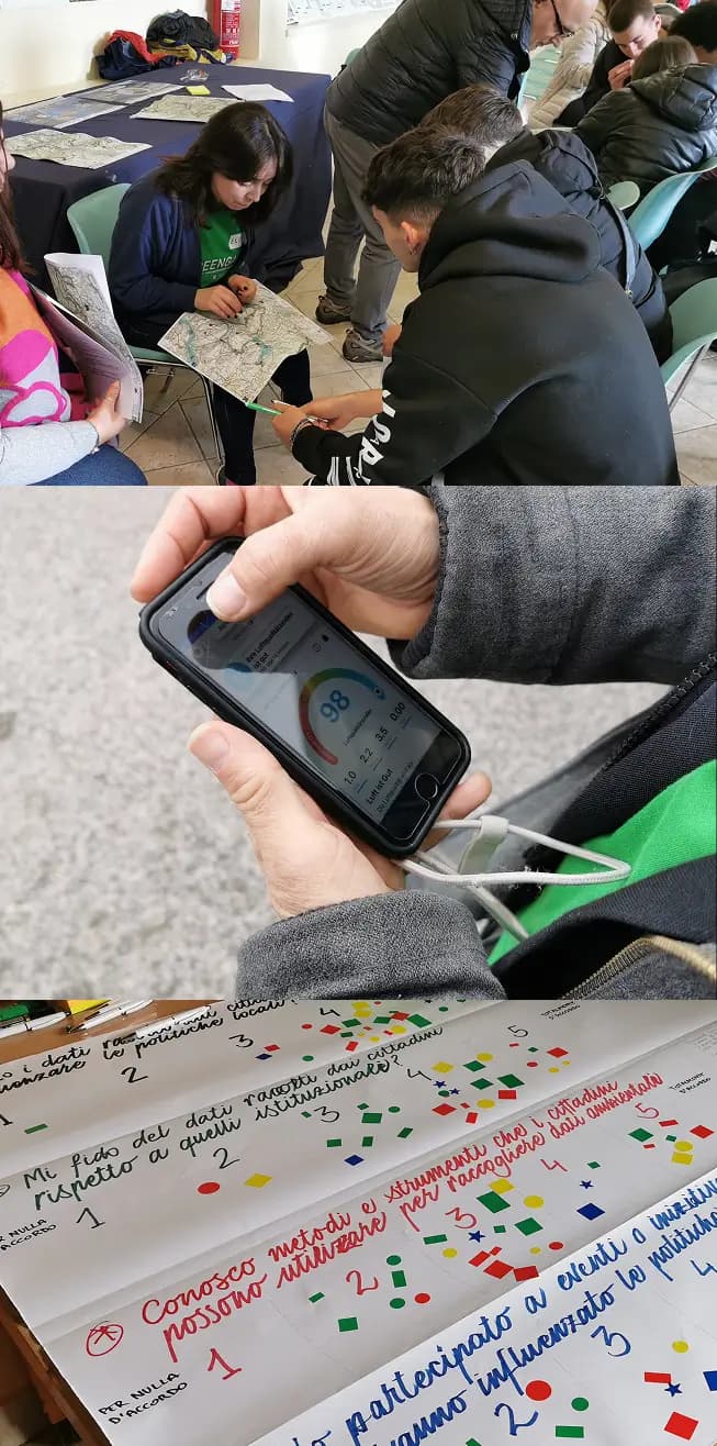
- GREENGAGE App – A field-ready mobile application designed for seamless data collection by citizens, experts, and local authorities.
Become a Citizen observer
Join a growing network of engaged individuals working to make cities more sustainable, inclusive, and responsive to real-world needs. As an active Citizen Observer, you’ll gain access to powerful GREENGAGE tools, including Apache Superset, Apache Druid and GREENGAGE Mobile App.
Why to Participate?
- Take part in ongoing Citizen Observatory campaigns
- Launch your own local initiatives
- Provide evidence to policymakers to support better decisions in your city or town